

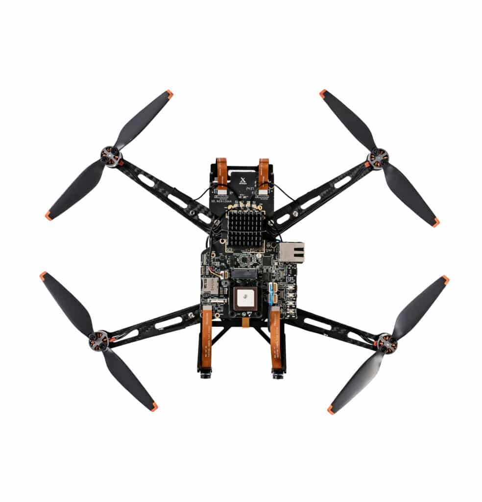
A high-precision, non-GPS-based flight control system using Visual Inertial Odometry (VIO) and AI is ideal for indoor, GPS-denied, or highly dynamic environments. Here’s a breakdown of key components and approaches:
Key Technologies
- Visual Inertial Odometry (VIO)
- Combines camera-based SLAM (Simultaneous Localization and Mapping) with IMU (Inertial Measurement Unit) data for real-time position tracking.
- Example frameworks: OpenVINS, ORB-SLAM, VINS-Mono, ROVIO.
- AI-Powered Sensor Fusion
- Deep learning-based sensor fusion (e.g., Kalman or factor graphs enhanced by neural networks) improves VIO accuracy.
- AI models predict drift and correct trajectory errors over time.
- Lidar / Depth Sensors for Redundancy
- 3D point cloud data enhances localization accuracy, especially in dynamic environments.
- Works alongside VIO for better object detection and obstacle avoidance.
- Event-Based Vision (Neuromorphic Cameras)
- Uses event cameras (like DAVIS or Prophesee) to track high-speed motion with ultra-low latency.
- Complements traditional cameras by reducing motion blur and improving feature tracking.
- Edge AI for Autonomous Decision-Making
- Onboard AI processes visual data for real-time trajectory adjustments.
- CNNs and transformers improve navigation, obstacle avoidance, and control efficiency.
- Alternative RF-Based Localization
- Ultra-wideband (UWB), optical flow, or acoustic positioning can complement VIO for added robustness.
Potential Applications
- Indoor drone navigation (warehouses, factories, search & rescue)
- Autonomous robotics (drones, rovers, AGVs)
- Swarm robotics (cooperative multi-drone navigation)
- Augmented reality systems (motion tracking for headsets)