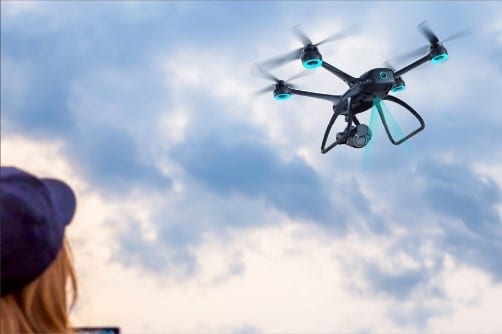
Pilots and filmmakers know all too well the specific challenges posed by low altitude and night flying. XDynamics’ EVOLVE 2 drone platform has taken a unique approach to solving this challenge with the incorporation of LiDAR (Light Detection and Ranging) technology. While traditionally used for mapping purposes, EVOLVE 2 is one the industry’s first single operator aircrafts using LiDAR to measure distance with incredible speed and incomparable accuracy. Let us explore how LiDAR works, its advantages over other remote sensing technologies and how its sensor is used specifically for high precision low altitude flight landing.
Widespread Availability
Introduced in the 1960s, LiDAR technology was custom mounted to large aircraft and primarily used for military and meteorology research. The technology, which uses rapid laser pulses to map out the surface of the earth, was very expensive prior to the introduction of GPS in the 1980s. Since then, LiDAR has been widely adopted and mass produced at significantly reduced costs. Today, LiDAR can be found in large aircraft as well as smaller done platforms, including EVOLVE 2.
Types of Remote Sensing Technologies
LiDAR, RaDAR and SoNAR are three object detection technologies with similar remote sensing algorithms. All three use the signal reflection principle to detect objects as well as determine their speed and distance to them. (See Figure 1.1)
An algorithm of the remote sensing system functioning:
- A transmitter emits a signal.
- The signal reaches an object.
- The signal reflects from the object and returns.
- A receiver captures the reflected signal.

The LiDAR Advantage
While similar, these technologies use different types of signals to measure the distance to a stationary object. LiDAR emits light pulses, whereas RaDAR transmits radio waves, and SoNAR uses sound echo. The difference in signal length and frequency directly affect how fast the data is updated as well as how accurate the data is.
The length and frequency of sound radio and light waves:
- (SoNAR) Ultrasonic waves: 1.5-15 km; 20kHZ-200kHz.
- (RaDAR) Radio waves: 1mm -100 km; 300 GHz-3 kHz.
- (LiDAR) Visible light waves: 400-700 nanometers; 430–750 terahertz.
LiDAR and RaDAR are much faster at detecting objects because light is 1,000,000x faster than sound. LiDAR (which uses visible light waves), is a longer and higher frequency system that can “see” further and is the most accurate, making it the most effective in low light.
While similar in speed, LiDAR measurements are more precise as compared to what RaDAR offers. RaDAR cannot accurately survey an object’s true shape correctly. Radio waves return lower resolution data, making it more difficult for the sensor to interpret. On the other hand, LiDAR’s spinning sensor is better at detecting objects, especially in close range. LiDAR sends and receives a large amount of laser pulses to form a highly precise ‘point cloud’ of the object with great range and angular resolution.
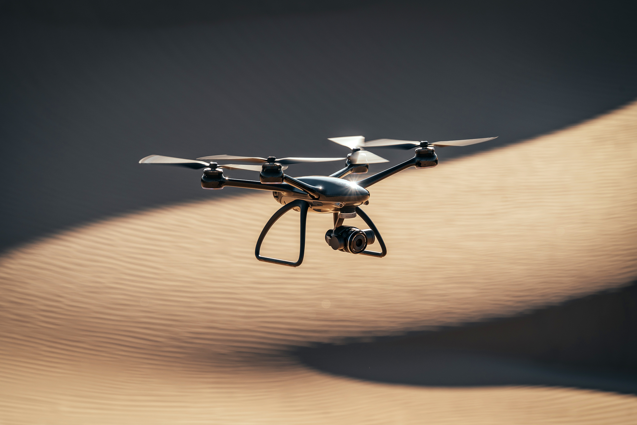
EVOLVE 2 and LiDAR
XDynamics’ EVOLVE 2 drone platform organically incorporates all of the components needed for the LiDAR system (GPS, laser scanner, high precision clock, IMU, data storage and management systems and GPS ground station). While traditionally used for mapping, the EVOLVE 2 harnesses the power of the LiDAR sensor to provide superior position tracking (operating at 50mw with a range of 0.1m to 10m. with an accuracy of +/- 2.5cm).
As previously discussed, higher precision is especially critical for flying and landing at altitudes of 10M and below. At these lower altitudes, the LiDAR sensor overtakes other sensing systems and methods (like GPS) to sense the horizon, ground etc. where speed and accuracy are crucial. The efficiency and effectiveness of LiDAR in EVOLVE 2, therefore, offers pilots safer low altitude landing that other technologies and platforms cannot.